

Mapping a bright future
Data-driven decision making is critical for local communities to thrive – meet the woman whose helping create maps that are shaping our place and our people.
“Haven’t all the maps been made?” That’s the question Georgia Edwards hears most when she tells people what she does for a living. As a geospatial analyst at Bay of Plenty Regional Council, her role is often misunderstood.
“People think I’m out exploring new lands,” she laughs. “Or they ask if I make Google Maps. The reality is that geospatial mapping is about data and decisions – it’s critical to how we plan for the future.”
Georgia’s journey into this career began in a high school geography class, thanks to an influential teacher, Miss Brodie.
“She was passionate about GIS (Geographic Information System) and made sure we did assignments that gave us hands-on experience,” Georgia recalls. At the time, she wasn’t convinced.
“After a particularly frustrating day of software crashes, I told my friends I’d never, ever work in GIS. They love reminding me of that now.”
At university, Georgia initially pursued microbiology alongside geography. “I thought I’d work in a lab, but staring down a microscope all day wasn’t for me.”
A career workshop shifted her perspective, prompting her to think about what she wanted from her day-to-day life: Variety, meaningful work and a role that made a difference. GIS ticked all the boxes.
Her academic success was matched by her drive to broaden her horizons. At just 19, Georgia secured a Prime Minister’s Scholarship for Asia and spent six weeks in Mumbai, interning with the Maharashtra State Government’s Mangrove Cell.
“I was very underqualified,” she laughs. “They thought they were getting a PhD student!”
Tasked with analysing mangrove ecosystems, Georgia worked independently in a new culture, gaining invaluable experience that later helped her land her first job. After graduating, Georgia joined Auckland Council’s bio information team, supporting projects that focused on biosecurity issues, such as kauri dieback and pest control.
While it wasn’t the most glamorous line of work – “it was a lot of photos of deer poo and dead possums” – the role honed her technical skills and introduced her to the power of GIS in environmental management.
Three years ago, Georgia traded Auckland’s bustle for Tauranga’s coastal calm, and a broader remit at the regional council.
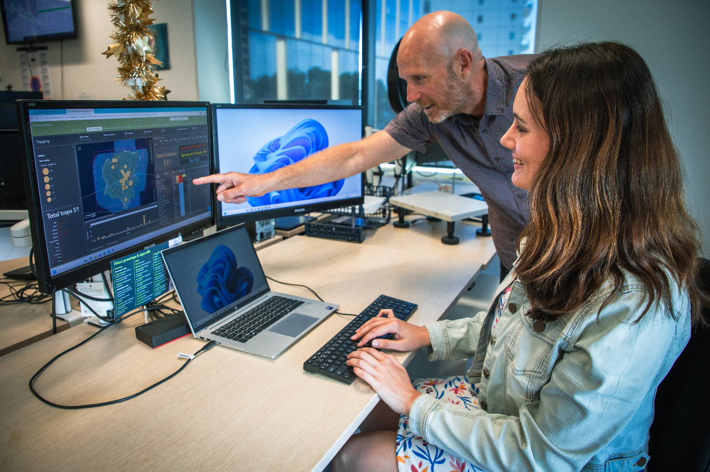
“I wanted to branch out from biosecurity and work on a variety of projects,” she explains. That variety has been everything she hoped for: Interactive dashboards for volunteer groups, mapping freshwater data and supporting teams across the organisation.
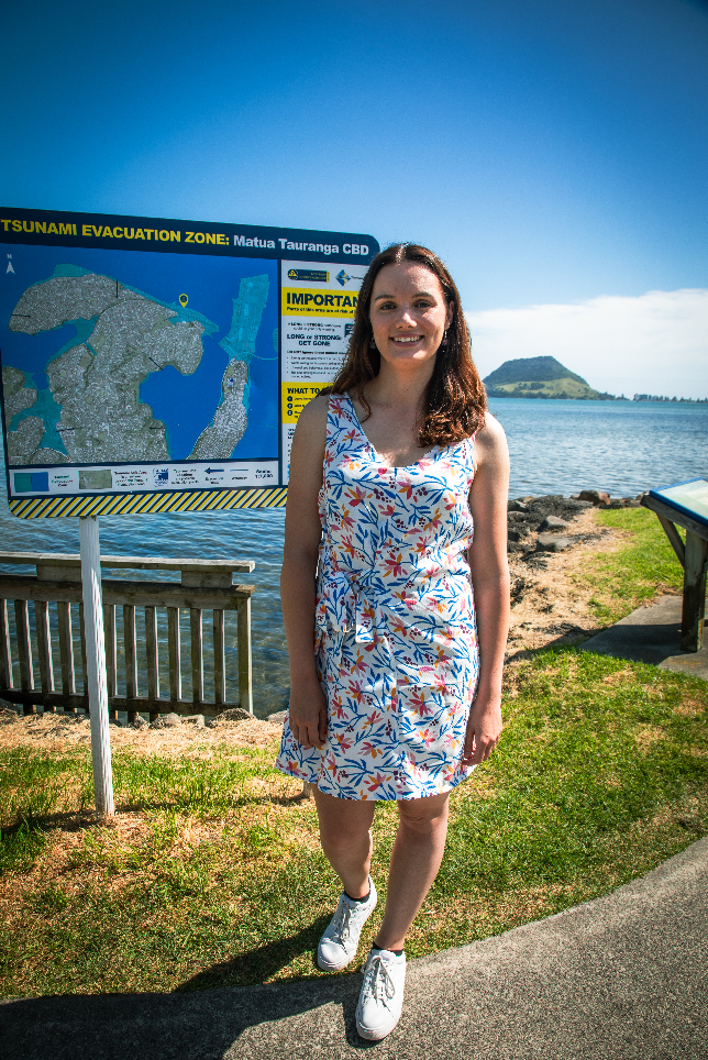
One project stands out: Tsunami evacuation maps.
“They’re on public signs, so when my family visits, I can point and say, ‘I made that map,’” Georgia says. “It’s the most visible piece of work I’ve done and it helps keep people safe.”
For Georgia, that visibility matters because GIS often operates behind the scenes. “People don’t realise how critical it is to decision-making. Our maps and dashboards help teams track progress, secure funding and plan for the future.”
Her influence extends beyond her day job too. Georgia serves on the New Zealand ESRI User Group Committee, helping organise regional conferences that connect GIS professionals across Waikato and Bay of Plenty. “It’s about sharing knowledge and building community,” she says. “When I moved here, I didn’t know anyone in the local GIS scene. Now I help bring 100 people together every year.”
Outside of work, Georgia channels her creativity into sewing. Whether she’s piecing together a dashboard or a dress, Georgia thrives on turning ideas into tangible results – much like her mahi in GIS.
“There’s a real satisfaction when it all comes together,” she says.
As for the future, what drives Georgia is doing good work with good people.
“If my job contributes to something positive and I’m surrounded by supportive colleagues, that’s success for me.”
Whether she’s mapping evacuation zones or stitching a new outfit, Georgia is proof that the right mix of passion, skill, and curiosity can shape more than maps – it can help shape communities.